
AI-generated summary reviewed by our newsroom.
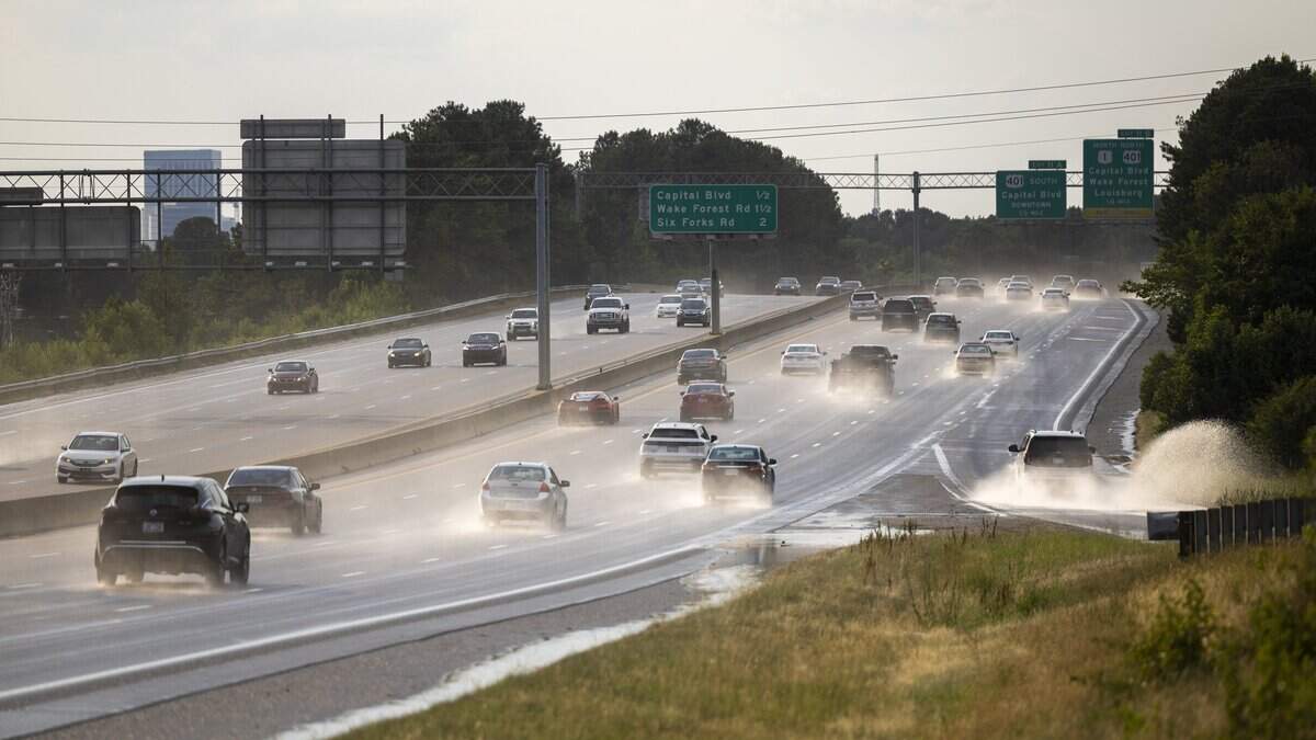
Severe storms, with damaging winds and flash flooding, are possible in parts of the Triangle and central North Carolina as the area’s “unsettled weather” continues.
Read more 700 NC residents lost more than $8.4 million in 2025 to this fraud. Here’s how
The forecast is “hit-and-miss” for storms on Monday, July 20, through the week with Monday, Tuesday and Wednesday all with a slight, or level 2, risk of severe storms, said Nick Petro, warning coordination meteorologist with the National Weather Service’s Raleigh office.
Rainfall could reach 1-2 inches an hour with some isolated storms dropping 2-4 inches of rain.
“The bottom line is somebody in central North Carolina is going to see an inch-and-a-half-to-two inches of rain (Monday), with the better chances east of Interstate 95, then that kind of heaviest rain lifts to the north (Tuesday) and then right back over us for Wednesday, heaviest across the northeast part of the state. Then is stalls out along the coast Thursday and Friday.”
The week’s wet weather is unrelated to Tropical Depression Two, formed in the Gulf of Mexico and projected to go west toward Alabama, Mississippi, Louisiana and Texas, this week.
Read more Why Raleigh can’t easily regulate Glenwood South nightlife district
When the weather is unsettled, there are more changes and chances for rain, wind gusts and storms to form.
“While everybody and everywhere hasn’t seen shower and thunderstorm activity over the last couple of days, a lot of places have, and there been a ton of lightning, some wind damage, some flooding,” Petro said.
Temperatures will remain high with some sports of the Triangle facing moderate or major heat risk. Raleigh is forecasted to reach low-to-mid 90s in the early part of the week with heat indexes reaching 102 degrees on Tuesday, July 21.
Read more NC family pulls $1 million scholarship over anti-DEI policy. Here’s what to know
This story was originally published July 20, 2026 at 2:20 PM.